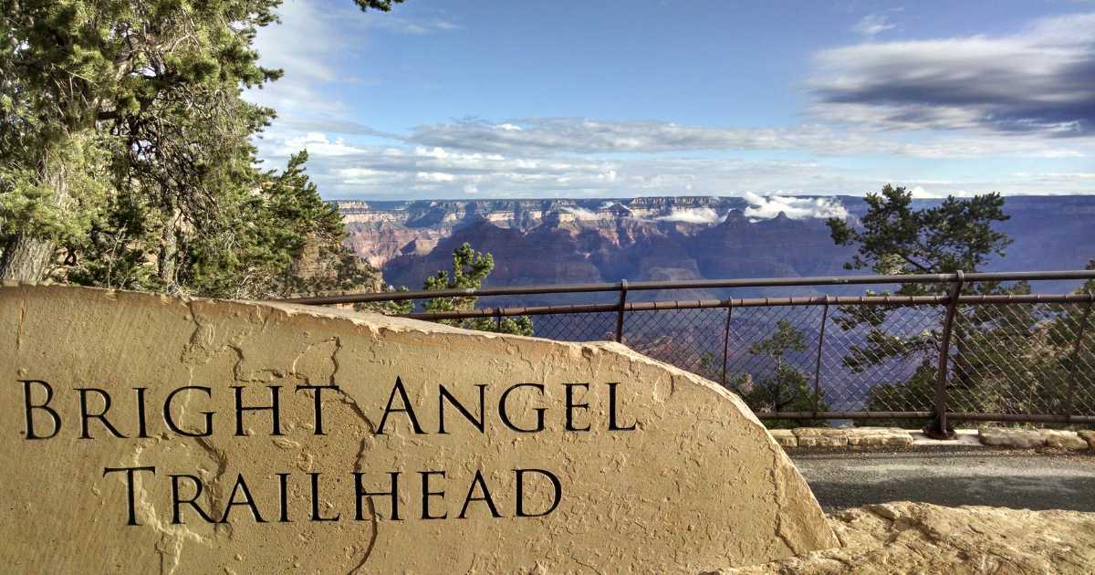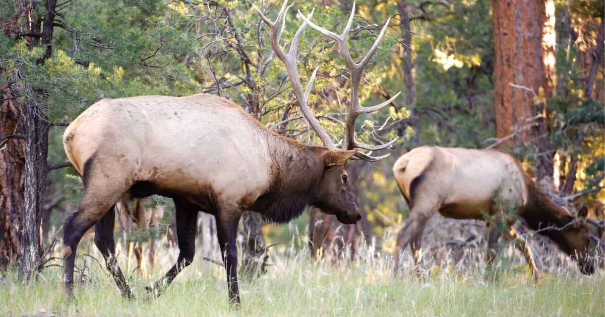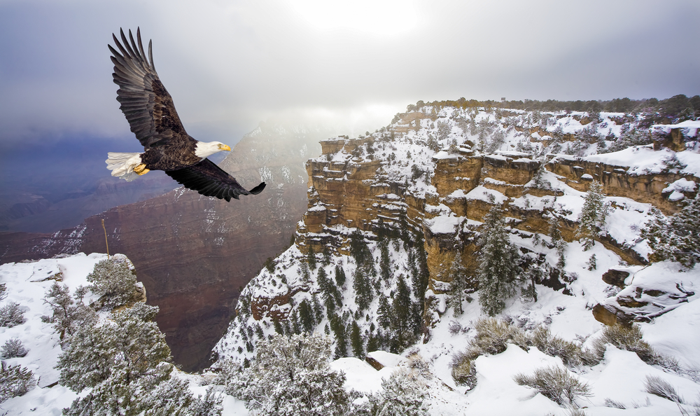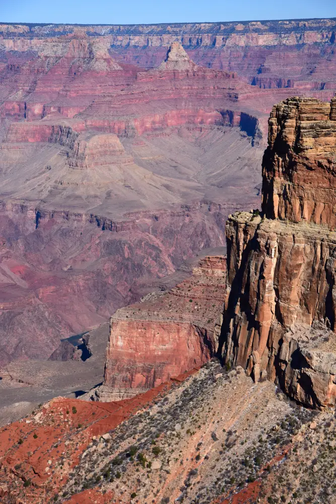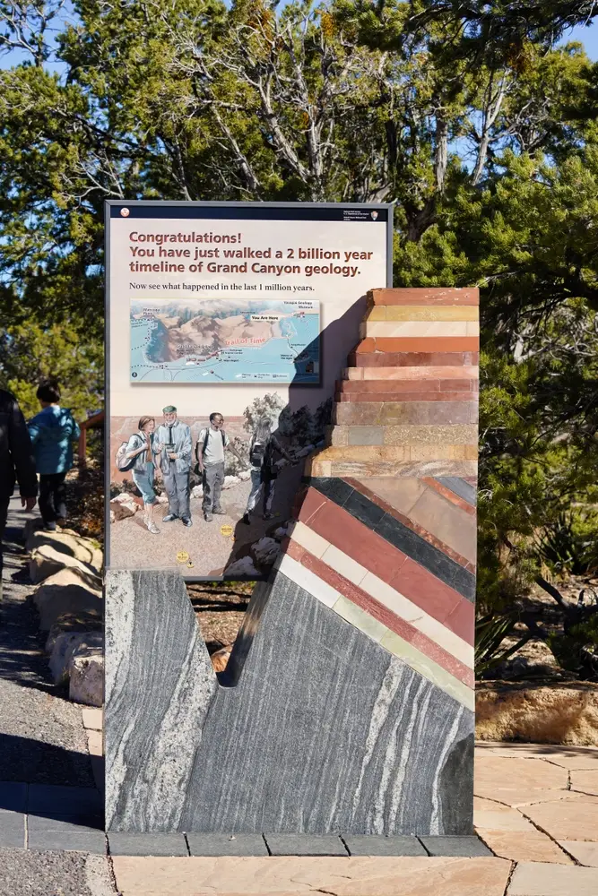
Hiking below the rim at the Grand Canyon National Park is an amazing experience, but not one that should be chosen on the spur of the moment. While there are several Grand Canyon Below the Rim Hiking Trails that offer the opportunity for short hikes, hiking all the way to the bottom is something that you must plan for well in advance.
This is a hike that should only be undertaken by those in top physical shape, who have experience on Grand Canyon Hiking Trails, and should NOT be attempted in the summer. While this trail does not go all the way down to the Colorado River, it is still an incredible day hike that includes breathtaking views, views of the Colorado River and Phantom Ranch at the bottom, quiet and solitude along the Tonto Trail, and shade and water at Havasupai Gardesn.
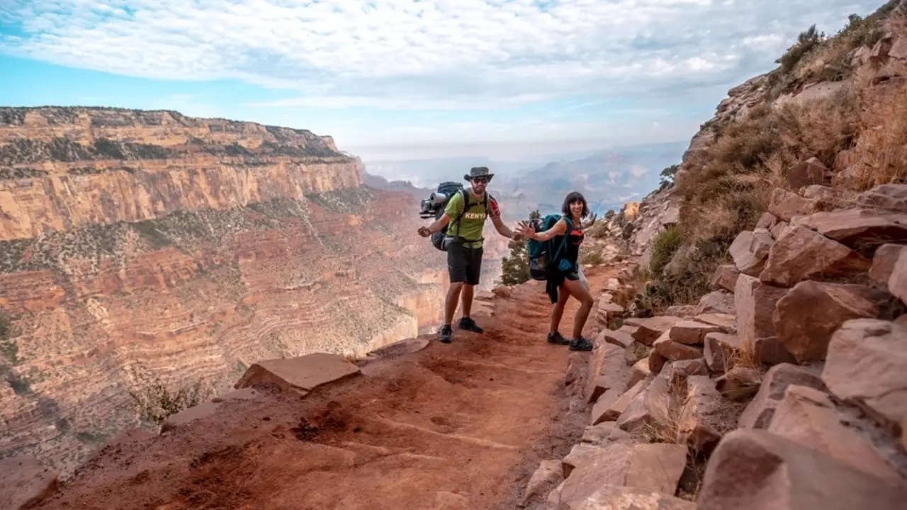
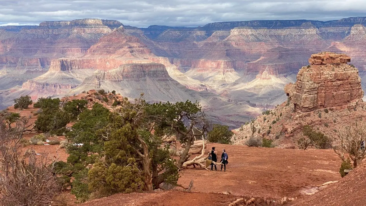
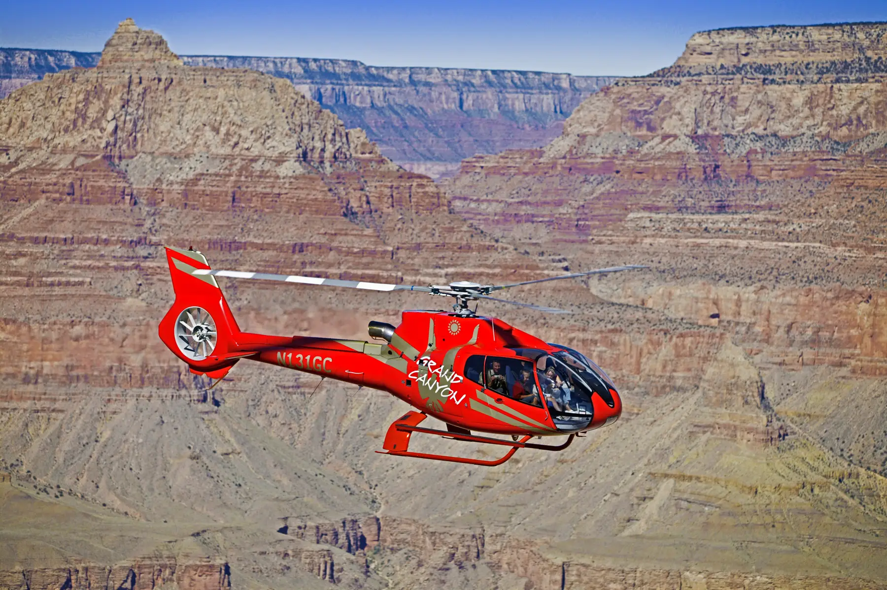
Some friends and I embarked on this hike starting at the South Kaibab Trailhead, down to Havasupai Gardens, and along the Tonto Trail to the Bright Angel Trail for our ascent back to the top. It was truly an incredible experience (watch the video!) and we have provided some information and tips here. Before starting any hike, please be sure have read the Hike Smart Information from the NPS, it provides tons of information to make sure you are ready for a longer hike.
In addition, ALWAYS check the NPS Updates page for up to date information about trail closures, water availability, trail conditions, weather and more.
SOUTH KAIBAB TRAIL: Getting there and Parking
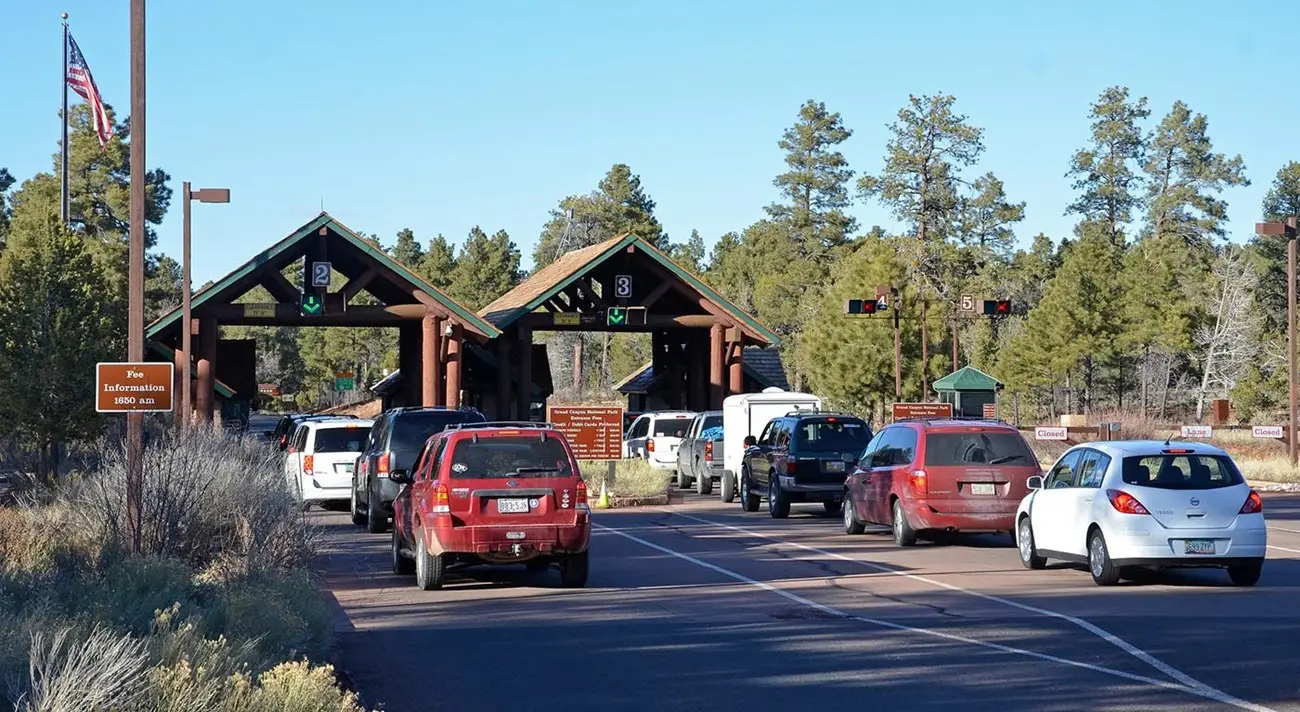
There is no parking at South Kaibab Trailhead for Day Hikes, but the NPS provides free shuttle service from the Visitor Center. Park at the Visitor Center and take the Kaibab Orange Route Bus to the trailhead.
South Kaibab Trail has NO water along the trail, always be sure you carry enough water to get you through your hike. The National Park Service recommends 1 Gallon (4 liters) of water per person, per day. For this hike, we knew we could refill at Havasupai Gardens on the descent, and again at 3 Mile and 1 1/2 Mile Rest Houses on Bright Angel Trail on the ascent. Water at these locations is available Mid-May to Oct only, and remember-All pipelines in the canyon are subject to breaks at any time of year, cutting off water supplies. Always carry water with you.
TRIP SUMMARY:
- Trails: South Kaibab to Tonto Trail to Bright Angel Trail
- Total Miles: Approximately 13.5
- Elevation Changes: 3,820 descent, 3,060 Ascent
- Total Time: 7 hours and 45 minutes
The Descent…
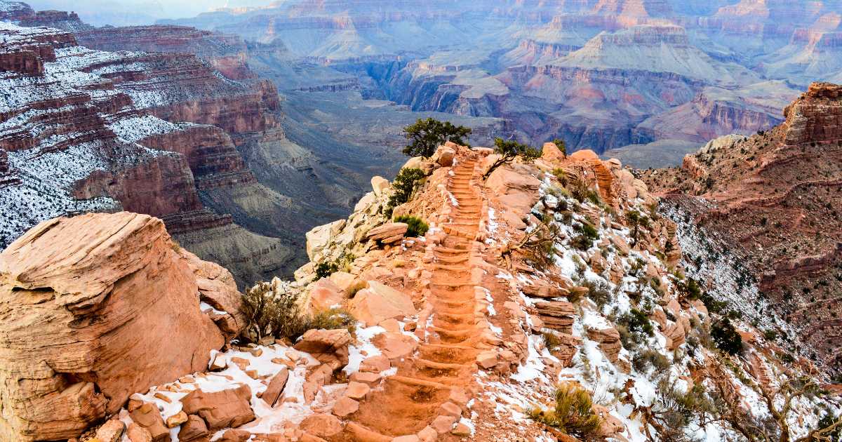
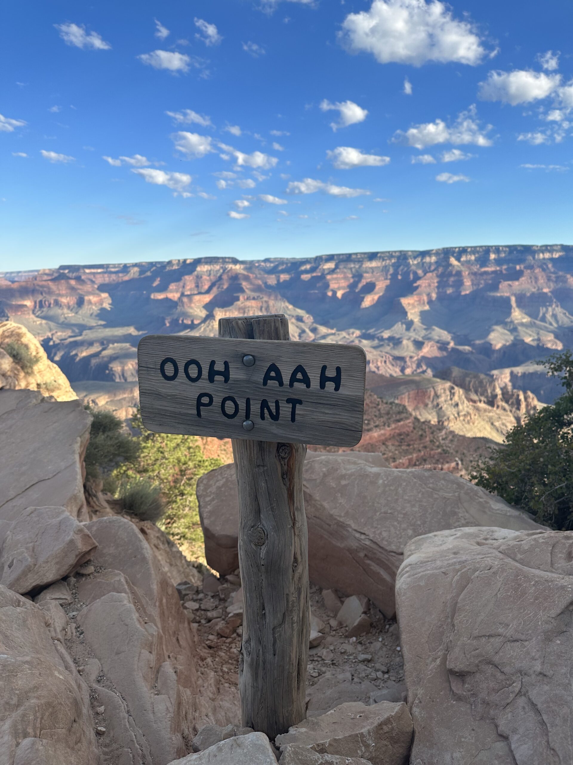
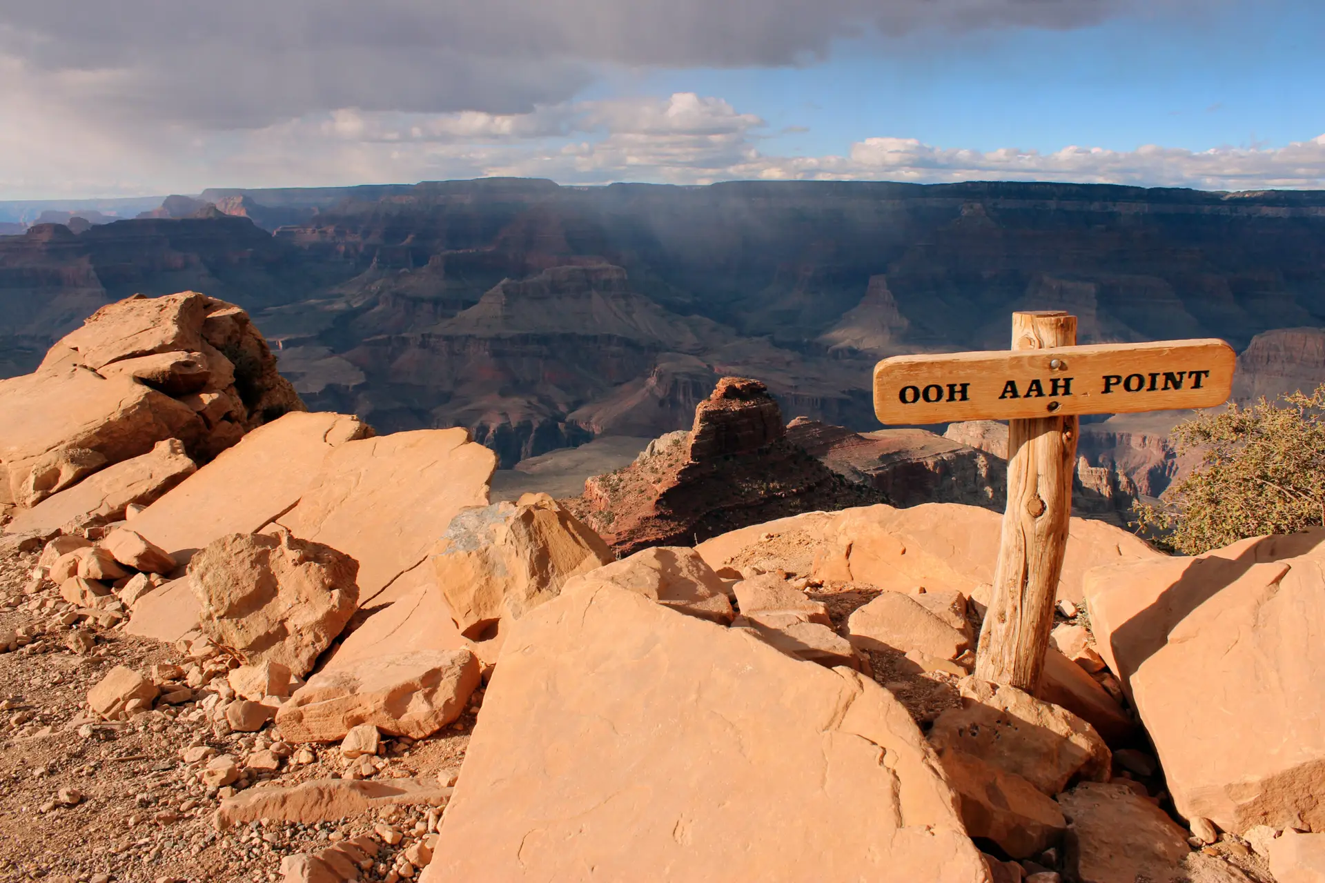
OOH AAH POINT
This was our first stop along the hike, and the name says it all! Incredible panoramic views, and it’s a great spot to stop for a rest, and then turn around and head back up for a short day hike.
- Mileage from South Kaibab Trailhead: .9 miles
- Elevation at South Kaibab Trailhead: 7,620 ft
- Elevation at Ooh Aah Point: 6,660 ft
- No services
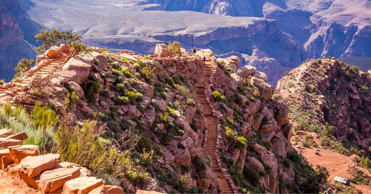
Cedar Ridge
Our next stop was at Cedar Ridge, where you’ll find expansive, 360° views of the Grand Canyon. There are trees in this area, but please respect signs designating protected areas. This is another great place to take a rest, and then turn around for inexperienced hikers, as the trail from this point down is very steep.
- Mileage from Ooh Aah Point: .6 miles
- Elevation at Cedar Ridge: 6,120 ft
- Pit Toilet at this point
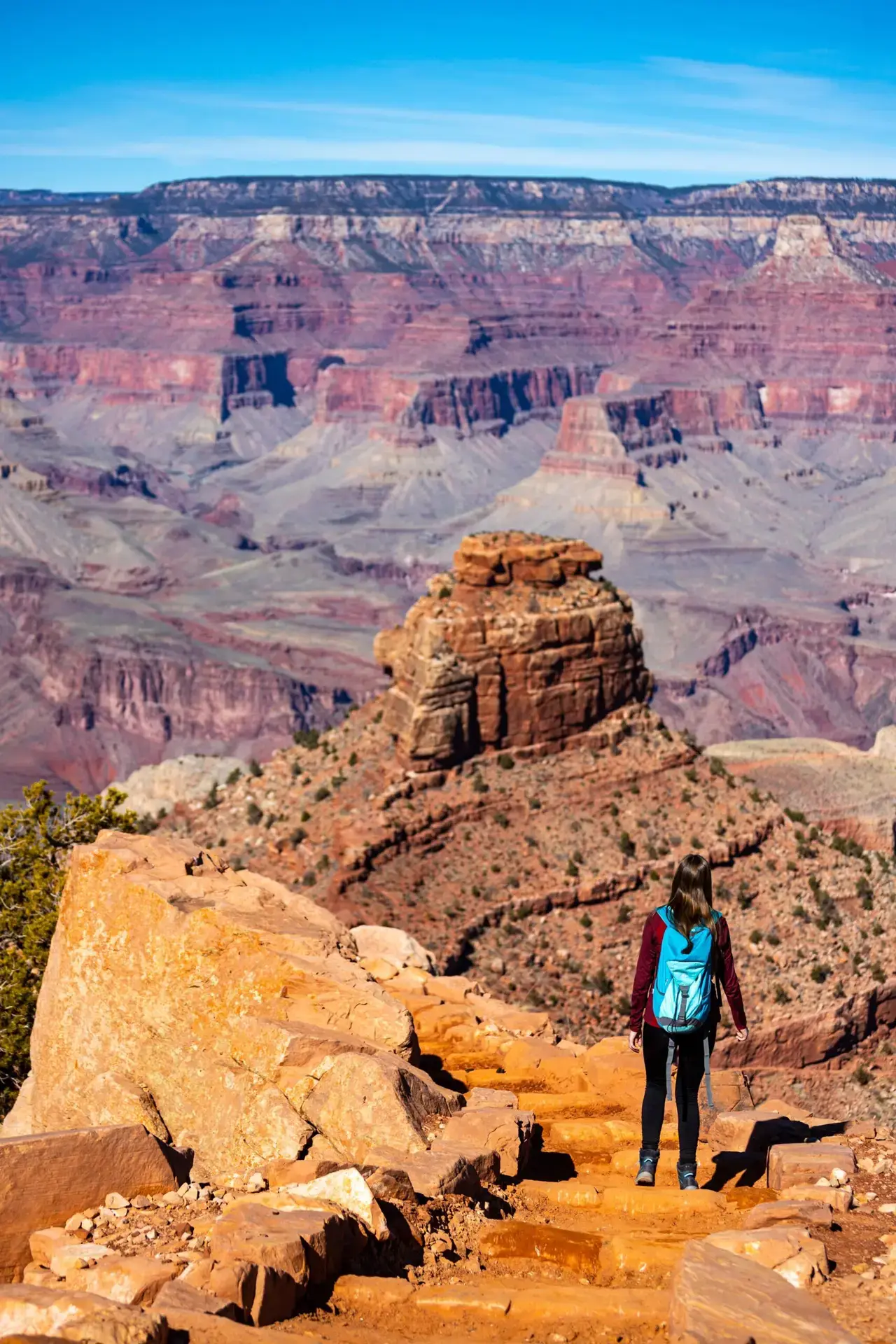
Skeleton Point
Skeleton Point was our next stop and offered our first view of the river, and it was amazing. Plenty of places to sit for a rest (not chairs of course, but plenty of rocks and flat ground). The trail and switchbacks get steeper after this point. Yet another great place to turn around and head back to the top for inexperienced hikers.
- Mileage from Cedar Ridge: 1.5 Miles
- Elevation at Skeleton Point: 5,200 ft
- No Services
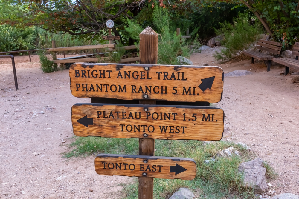
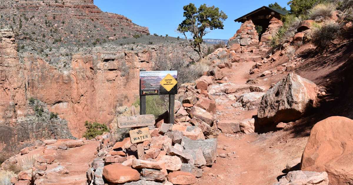
Tip Off Point-Tonto Trail Intersection
This next stop was Tip Off Point-Tonto Trail intersection and we reached it after a rapid descent with a lot of switchbacks from Skeleton Point.
- Mileage from Skeleton Point: 1.4 miles
- Elevation at Tip Off Point: 4,000 ft
- Pit Toilets and Emergency Phone at Tip Off Point
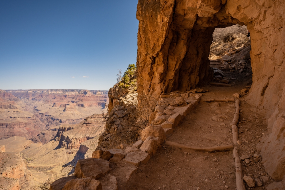
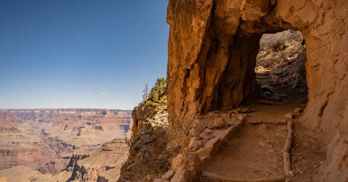
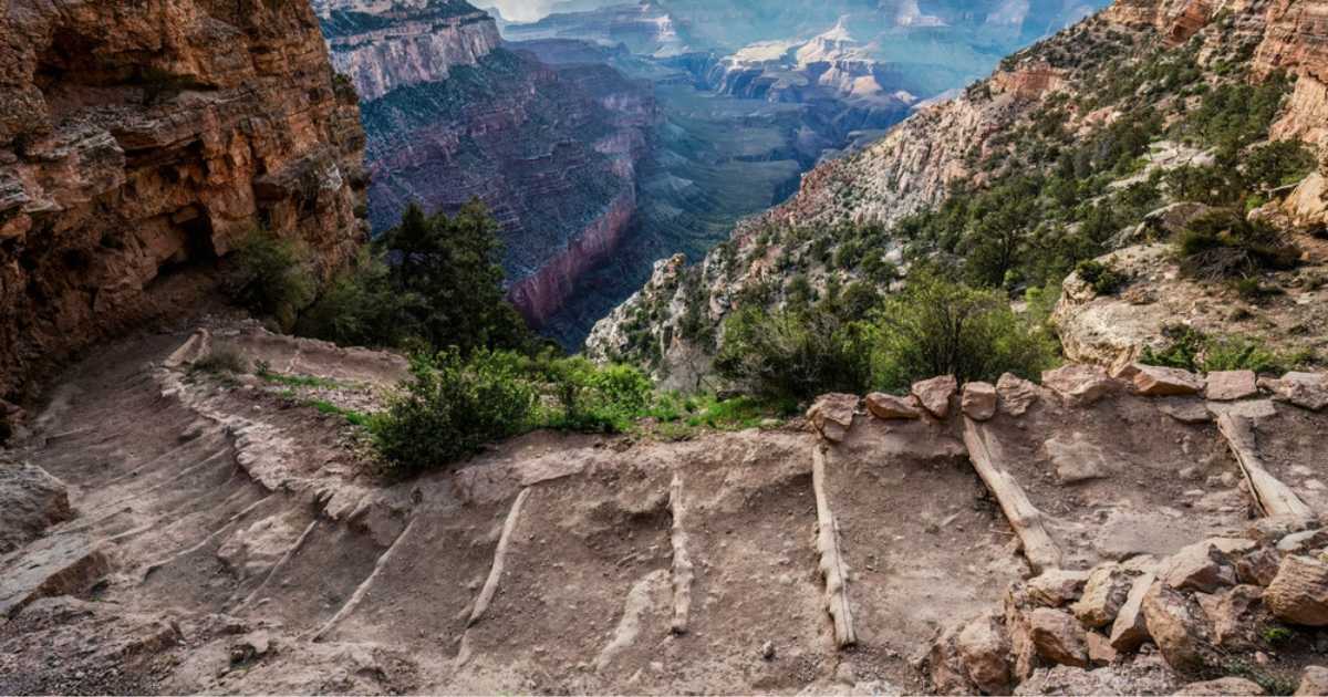
Havasupai Gardens
We followed the Tonto Trail for approximately 4.6 miles to get to Havasupai Gardens, and this stop made the whole trip worthwhile! This is a lush oasis with plenty of shade from Cottonwood Trees, and natural springs. Native Americans lived and farmed here at Havasupai Gardens for thousands of years before the creation of the Grand Canyon National Park.
- Mileage from Tip Off Point: 4.6 miles
- Elevation at Havasupai Gardens: 3,800 ft
- Toilets and Water available at Havasupai Gardens
The Ascent…
3 Mile Rest House
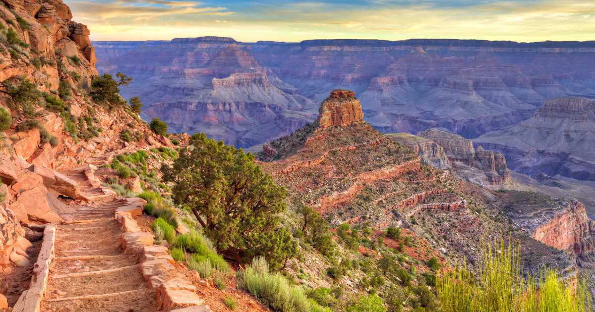
After a very welcome break at Havasupai Gardens, we began our ascent back up using the Bright Angel Trail. A series of switchbacks knows as Jacob’s Ladder takes you from Havasupai Gardens to the 3 Mile Rest House, with awesome views along the way. 3 Mile Rest House has water available Mid May through October, but ALWAYS plan ahead for water breaks and carry your own water.
- Mileage from Havasupai Gardens: 1.4 Miles
- Elevation at 3 Mile Rest House: 4,748
- Water available seasonally
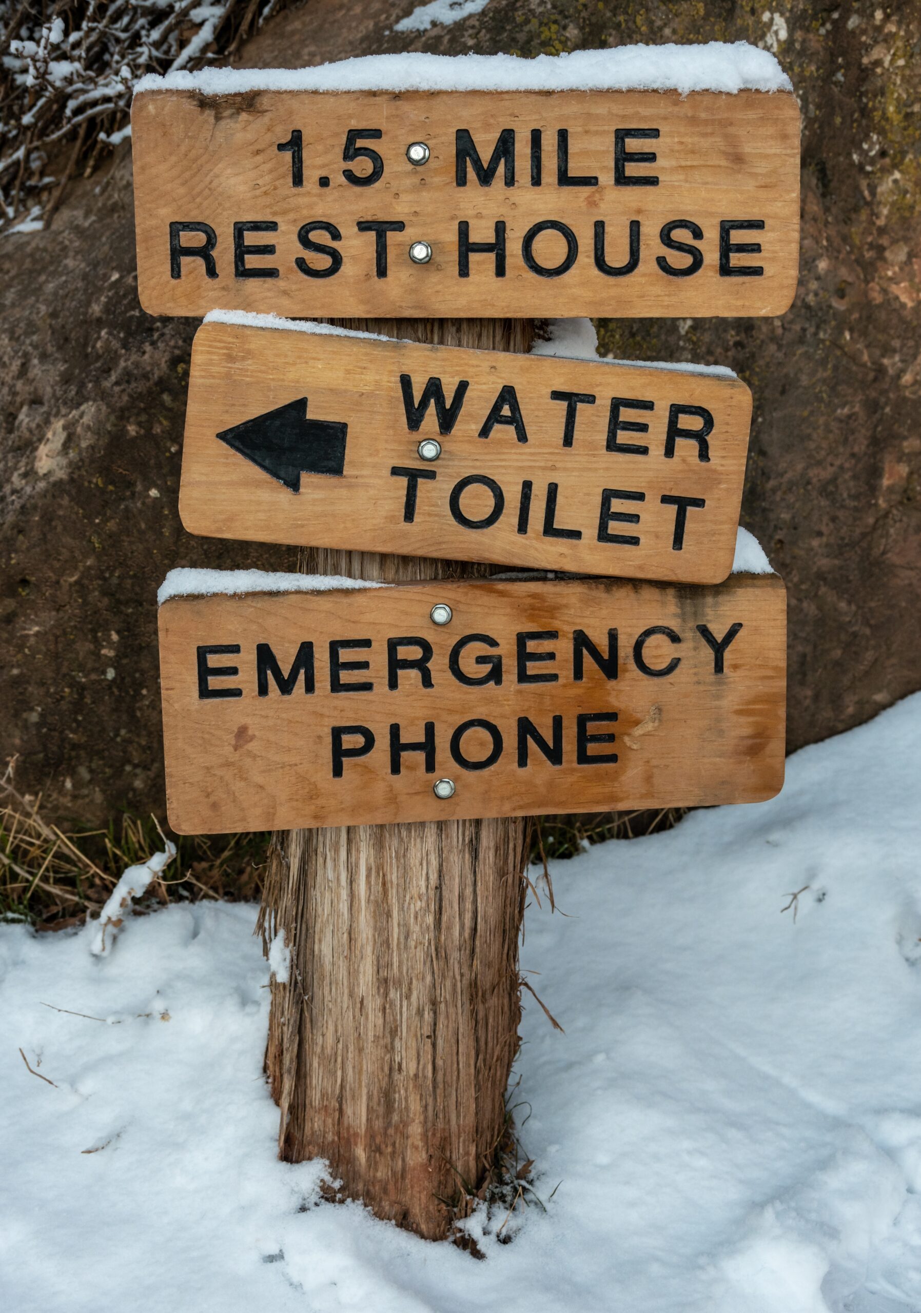
1.5 Mile Rest House
As we got closer and closer to the top of the Bright Angel Trail, we knew we only had a few miles to go and as much as we had enjoyed this journey, we were ready to reach the top and stand on flat, even ground! The 1.5 Mile Rest House provided us another opportunity to rest for a bit.
- Mileage from 3 Mile Rest House: 1.5 miles
- Elevation at 1.5 Mile Rest House: 5,729
- Water available seasonally